


Sometimes I find myself stuck with my art (and my life–but that’s another story). It can happen when applying for a grant, seeking a residency, or just feeling uncertain about what to do next. When this happens, I wander online for answers.
Wikipedia-ing is a favorite starting place and pastime, where I mostly aim for researching a curiosity. It might be a curious bit of information I noticed in a Tweet or Times article, such as the Golden Age of the Republic of Georgia or the language of East Greenlandic. Through other links, I follow bits that are of interest to me, arriving at a place completely unfamiliar to my starting point.
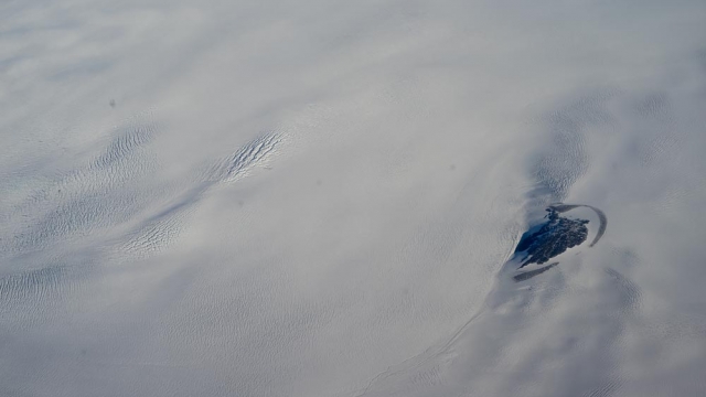
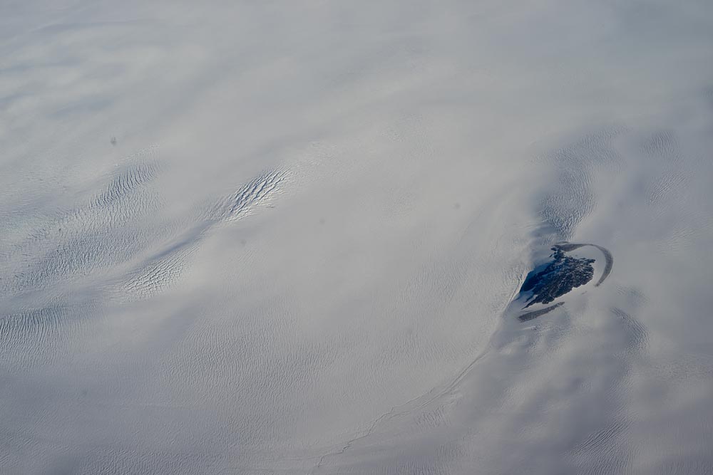
A parallel component of this exploration is Google Earth or Maps. As a visual person, maps have always been a powerful guide and I loved them as a child. When I find an article of interest, I then switch over to Satellite view of Maps to see what the place looks like–is the location near a river? Are there interesting features? Are there ruins or abandoned buildings? These could translate into possible interesting photographic sites for me. If there is further interest, I zoom in looking more deeply and follow literal paths–if there are any, and explore Street View.
In fact, I used this precise method to come up with my Greenland project.
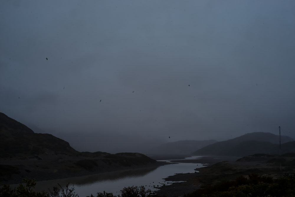
For several years, I have craved distant photographic locations. I headed north of Vermont to Quebec, tracing the St. Lawrence River. Continuing further north and east, I discovered tiny Outports of Newfoundland and Labrador. But still looking to expand the night landscapes to new and ever more remote regions, I studied Google Earth and saw even more extreme were the islands of Iceland and Greenland. I remembered reading fantastic Icelandic sagas, so I considered the small nation as a destination. Yet when looking on Maps, I could see several roads crossing the island: remote but never more than a handful of hours away from a city. I decided to explore massive Greenland with the largest ice sheet in the northern hemisphere.
Google Earth really came in handy. While researching this and other online sources, I was intrigued to find such an extreme place. Satellite view provided a clear direction: the almost of Greenland was ice, making the edges the most likely option for travel. Looking closer at the vast coast, I noticed one spot where a glacier was within hiking distance from an international airport–Narsarsuaq. This became a launching point for the arctic landscapes. This then became a major project and formed the basis for an initial grant–a second one to East Greenland will occur in August.
Comments are closed.